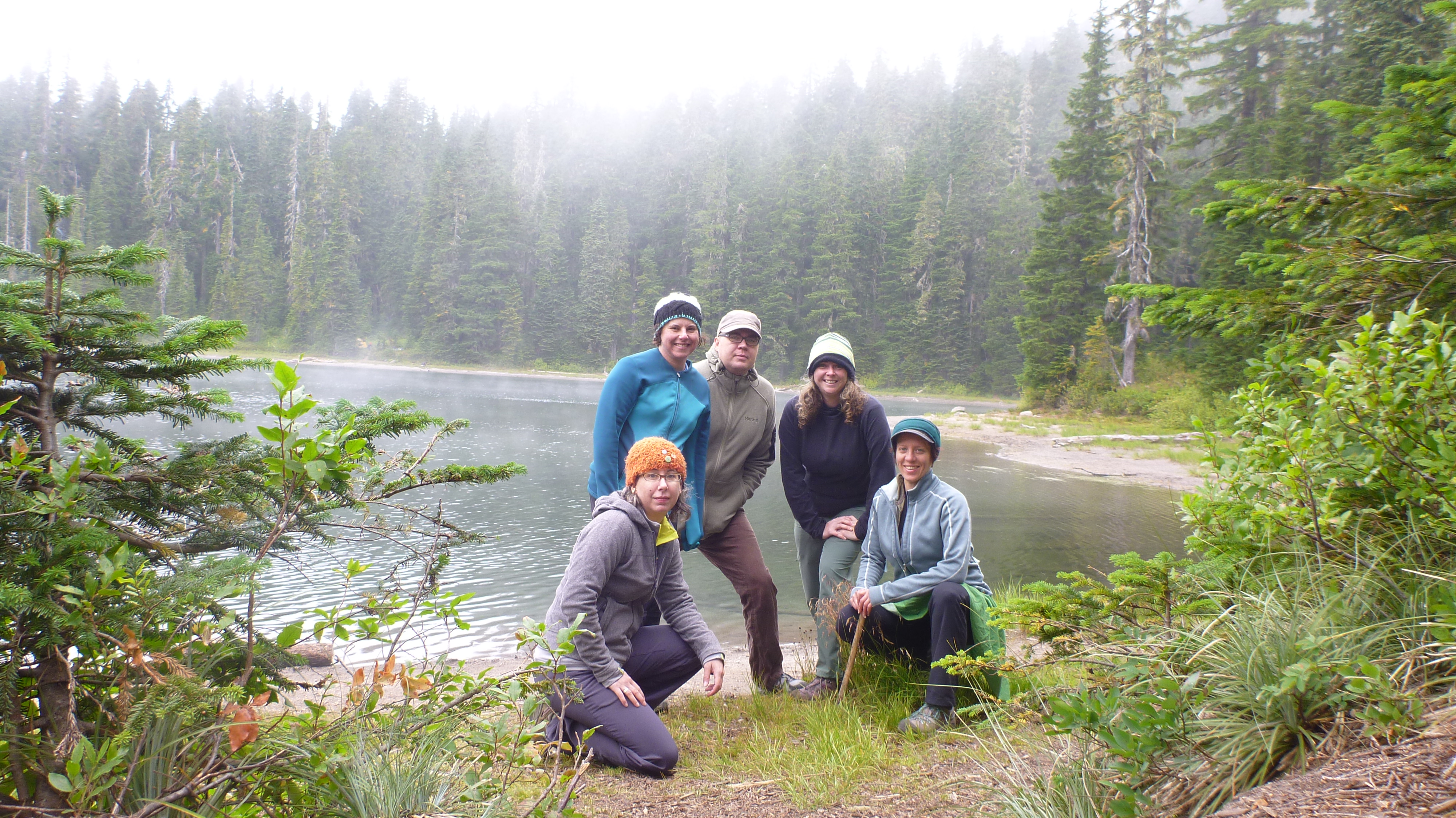
 Indian Heaven Wilderness is one of the best hiking spots in the region for September hikes. It sits at the top of the high volcanic plateau in the Washington Cascades. Hiking this area is especially difficult because the timing needs to be just right. Otherwise, there is either too much snow, ice, and mud or too many biting bugs. The recommended season is between late August and early October. Our group put together this overnight in the middle of September and it was so perfect! Not only did we get the best camp site in the area, but the days were beautiful, no mosquitoes anywhere, and after setting up camp we were able to chill our toes in Bear Lake.
 The trails we chose were the Lemei and Blue Lakes Loop, a route that travels past dozens of lakes, through meadows, and among mid-elevation forests. For the most part, the terrain was pretty easy, and there were hardly any hikers on these trails. The 12.3-mile loop was one I found in the book One Night Wilderness: Portland by Douglas Lorain / Wilderness Press. Parking at the Thomas Lake Trailhead lot was perfect for the start of our journey. Elevation gains throughout the entire hike were a total of 1800 feet, though it was a gradual change that made it hardly noticeable.

 We did see signs that bears were in the region. Some of these signs were in the form of scat or bear droppings, while others were large claw marks in the sides of trees. Do not run from a bear! They will respond better to you making loud noises and waving arms to show how big and fierce you are. If you spot one from afar, stop to judge in which direction it is traveling and do not follow or cross its path.
For me, the most intriguing part of the trails in this loop was the section of the Pacific Crest Trail. Travelers seen hiking this trail can be on the trail for months at a time. One man who passed us going the opposite direction was just such a traveler. Although he did not say more than a passing hello, I could tell by his appearance, demeanor, and smell that he had been traveling the trail for hundreds, maybe thousands of miles.
The Pacific Crest Trail (commonly abbreviated as the PCT, and occasionally designated as the Pacific Crest National Scenic Trail) is a long-distance hiking and equestrian trail closely aligned with the highest portion of the Sierra Nevada and Cascade mountain ranges, which lie 100 to 150 miles (160 to 240 km) east of the U.S. Pacific coast. The trail’s southern terminus is on the U.S. border with Mexico, and its northern terminus on the U.S./Canada Border on the edge of Manning Park in British Columbia, Canada; its corridor through the U.S. is in the states of California, Oregon, and Washington.
The Pacific Crest Trail is 2,663 mi (4,286 km) long and ranges in elevation from just above sea level at the Oregon-Washington border to 13,153 feet (4,009 m)at Forester Pass in the Sierra Nevada. The route passes through 25 national forests and 7 national parks. Its midpoint is in Chester, California (near Mt. Lassen), where the Sierra and Cascade mountain ranges meet.
It was designated a National Scenic Trail in 1968, although it was not officially completed until 1993. The PCT was conceived by Clinton C. Clarke in 1932. It received official status under the National Trails System Act of 1968. – Wikipedia
The Pacific Crest Trail Association is one of the leading organizations protecting and managing the trails for hikers from around the world. Check out their website www.pcta.org if you think you’re brave enough for this 2600+ mile journey.
NOTES:
Permits are required, but are available at the trailhead. Northwest Forest Pass is also required and available at many locations such as REI, the Stevenson Information Center and many more, or by ordering online here.
MAPS:

